
Making maps essential to communities

This piece is one of a series that looks at the Knight News Challenge winners, and their thoughts on future trends, on the occasion of the challenge’s 10th anniversary.
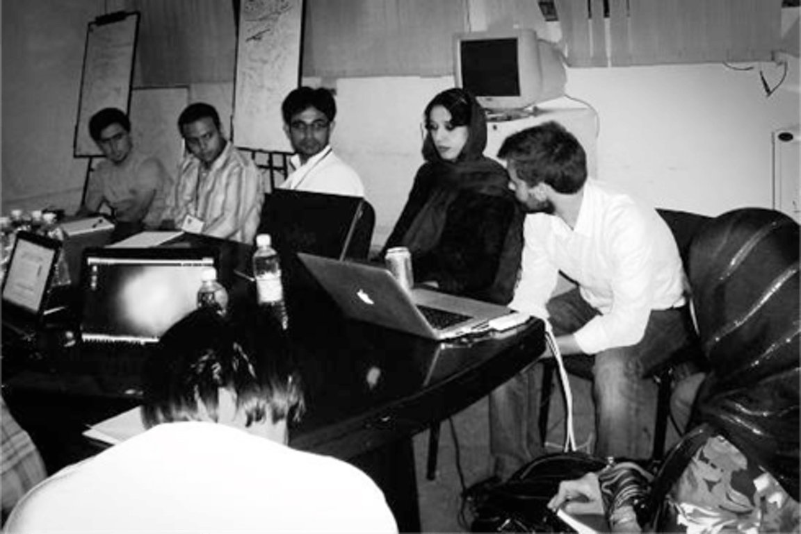
From a garage in D.C., Eric Gundersen and his team changed the way people around the globe interact with and help their community. It all began with a map.
Seven years ago, Gundersen and his team of two dozen employees were helping international organizations on data visualization projects ranging from tracking Afghan elections to assessing needs after an earthquake in Haiti.
Digital maps were primitive, and Gundersen wanted to build out open-source tools that media and others could use to create hyper-local maps.
His company, Mapbox, received a $77,000 Knight News Challenge award in 2010 and used it to build tools that allowed journalists, non-governmental organizations and others to create maps with layers of information never available before. Cities were beginning to release large amounts raw data, such as arrest information or student test scores, and journalists needed tools to visually present that data layered onto neighborhood maps in a way that would be useful to readers.
Early partners included the Chicago Tribune and NPR.
“Journalists were the translators in taking the open data and telling a story,’’ Gundersen said. “They wanted a high level of editorial control of presentation of the data and they were the best power users for some of our early tools,’’ he said.
The funding – along with another $575,000 Knight investment in 2012 – allowed the company to focus on improving OpenStreetMap, a crowdsourced world map created and sustained by thousands of volunteers. Think of it as the “Wikipedia’’ of digital mapping.
In many countries, and even parts of the United States, a digital map will only show major roads. The OpenStreetMap project invites volunteers to fill in the gaps, show all the buildings and identify them. Those details can be critical in a place like Puerto Rico after Hurricane Irma, for example, or areas of Mexico City affected by a recent earthquake. Rescue and aid organizations need the best possible maps to provide help to affected communities.
In the last few years, hundreds of thousands of people have mapped 25 million miles of roads in every country in the world.
“What was great about what Knight did is it let us empower people,’’ said Gundersen. “We made it easier for people to contribute data. Not just power users, but anyone. It has a huge democratizing effect. By going in and contributing, you can put where you live on the map. The same tool that was used to first map parts of Kenya six or seven years ago was used a couple of months ago when the Red Cross and the Gates Foundation teamed up to find better maps to fight malaria.’’
Data is used for both non-profit and commercial enterprises. Mapbox supports OpenStreetMap and also uses the data to build maps and support location-based apps such as Uber and Foursquare.
It’s been quite the journey for navigation tools in the last decade and Gundersen credits the iPhone with transforming the relationship between individuals and maps.
Having a digital map wasn’t a new concept when the iPhone was released. What was new, Gundersen explained, was the “blue dot.’’
“The blue dot was in the center of the screen and the map formed around you. This was the first time that a map was oriented around you, the individual – an insanely personal way of looking at the world and your place in it. That didn’t exist before the blue dot,’’ Gundersen said.
Next came Waze and its ability to use the power of the masses to help people navigate what is happening in real time. “You got aggregated data back to show not just where the streets are but live traffic. And then the map moved inside other apps – watching your grocery delivery on Instacart, your driver in an Uber.’’
And the future? Gundersen predicts that the maps will move into the background as artificial reality and virtual reality games and programs put the user in the middle of streets and inside buildings. Autonomous vehicles and a new transportation infrastructure will require even more precise navigation tools.
Mapbox is in the middle of that future. And the company isn’t in a garage anymore. It has 290 employees, offices in Washington, D.C., San Francisco, Shanghai, Bangalore and Berlin, and has raised more than $228 million in funding.
The success of Mapbox means the OpenStreetMap project continues to grow. Mapbox has put into OpenStreetMap three times the amount the foundation contributed over the years, Gundersen said.
“Knight chose to invest in a project by a for-profit, with a goal that the for-profit would sustain the non-profit project,’’ said Gundersen. “It worked.’’
George Haj is a former journalist and communications consultant in Miami.
Ed Paisley is the senior director at the Washington Center for Equitable Growth and a former
journalist.
-
-
Press Release
-
Community Impact / Press Release
-
Community Impact / Press Release
-
Community Impact / Press Release
-
Community Impact / Press Release
-
-
Community Impact / Press Release
-
-
Community Impact / Press Release
-
Recent Content
-
 Artsarticle ·
 -
 Artsarticle ·
 -
 Community Impactarticle ·